The Plaza of the Seven Temples

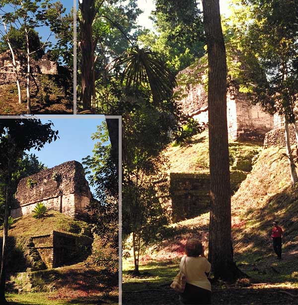
Structure 5D-91 on the south side of the Seven Temples Group is typical of a "passage" type of palace which served as a passage from a pubic space into a ceremonial space. A formal ceremonial stair is visible of the south side of this major palace (right of center in the photo).
Harrison estimated that by 1999, only about 10% of the structures known by mapping had been excavated at Tikal. When we visited in 1998, restoration work was being completed on this structure.
Tikal was a huge metropolis at its height, rivaled only by El Mirador to the northwest and Coba in northern Quintana Roo. Harrison estimates that it reached a population of between 100,000 and 200,000 people (perhaps more) and covered roughly 65 square km. There are over 3,000 surface structures known today.
Peter Harrison. The Lords of Tikal: Rulers of an Ancient Maya City. Thames and Hudson Ltd., London, 1999.
Map of the Plaza of Seven Temples

Separated from the northern part of the city by a deep ravine, the Lost World Pyramid anchors an important east–west architectural grouping. Much of this group is still being investigated by archaeologists, but it is clear that this east-west axis was of special significance and the location of several royal necropolis groups.
Of special significance is the triple ballcourt on the north end of the plaza. It has been speculated that the only access into the plaza was through the ballcourts, as the rest of the courtyard is surrounded by buildings atop platforms.
The Plaza of the Seven Temples
The Plaza of the Seven Temples contains three parallel ballcourts on the North side, and an elevated palace group.